Every hiking party has to sign in and out, so they know if they have to come looking for you.
I'd hiked with each person on Team Portland at least once, and it seemed like my pace was a good mesh with at least a couple other hikers. The other three were faster, but didn't seem to mind regrouping regularly, so we planned to just stick together for the most part.

View of Mount Adams
The MSH trail is an out and back, on a route called Monitor Ridge. It's under 5 miles one-way, and I knew that the trail was broken up like so:
- 1/3 slight elevation climb along a forested trail
- 1/3 "trail" in a boulder-strewn wall, with a ton of elevation gain
- 1/3 trudge/scramble/two steps forward, one step back along an ashy slope.
The entire elevation gain is 4665 feet, with the peak at an elevation of 8280 feet. The vast majority of the climbing occurs in about 3 miles.
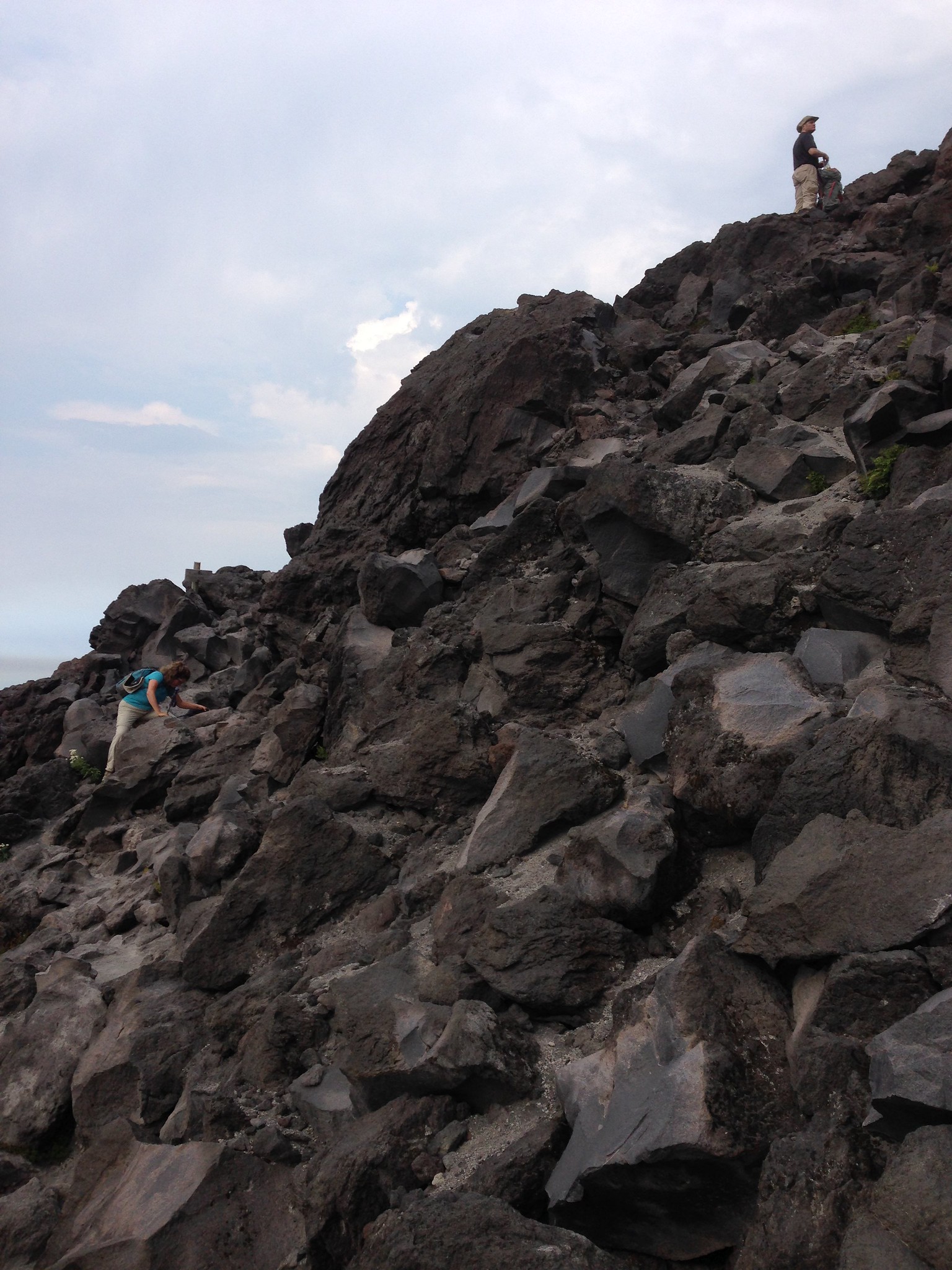
An idea of the terrain we had to climb - for hours.
The hike was super tough, both physically and psychologically. One person in our group has done the hike many times, but never in summer - only when there is lots of snow on the mountain. Then, he said, all the boulder field is covered by snow, so you just snowshoe on up! Of course, you also have to start a couple miles further away from the trailhead...
Fortunately I'd read a recommendation somewhere online to bring sturdy work gloves. I used my hands a LOT on the scramble up and down, and would have shredded my palms and fingers without my trusty leather gardening gloves.
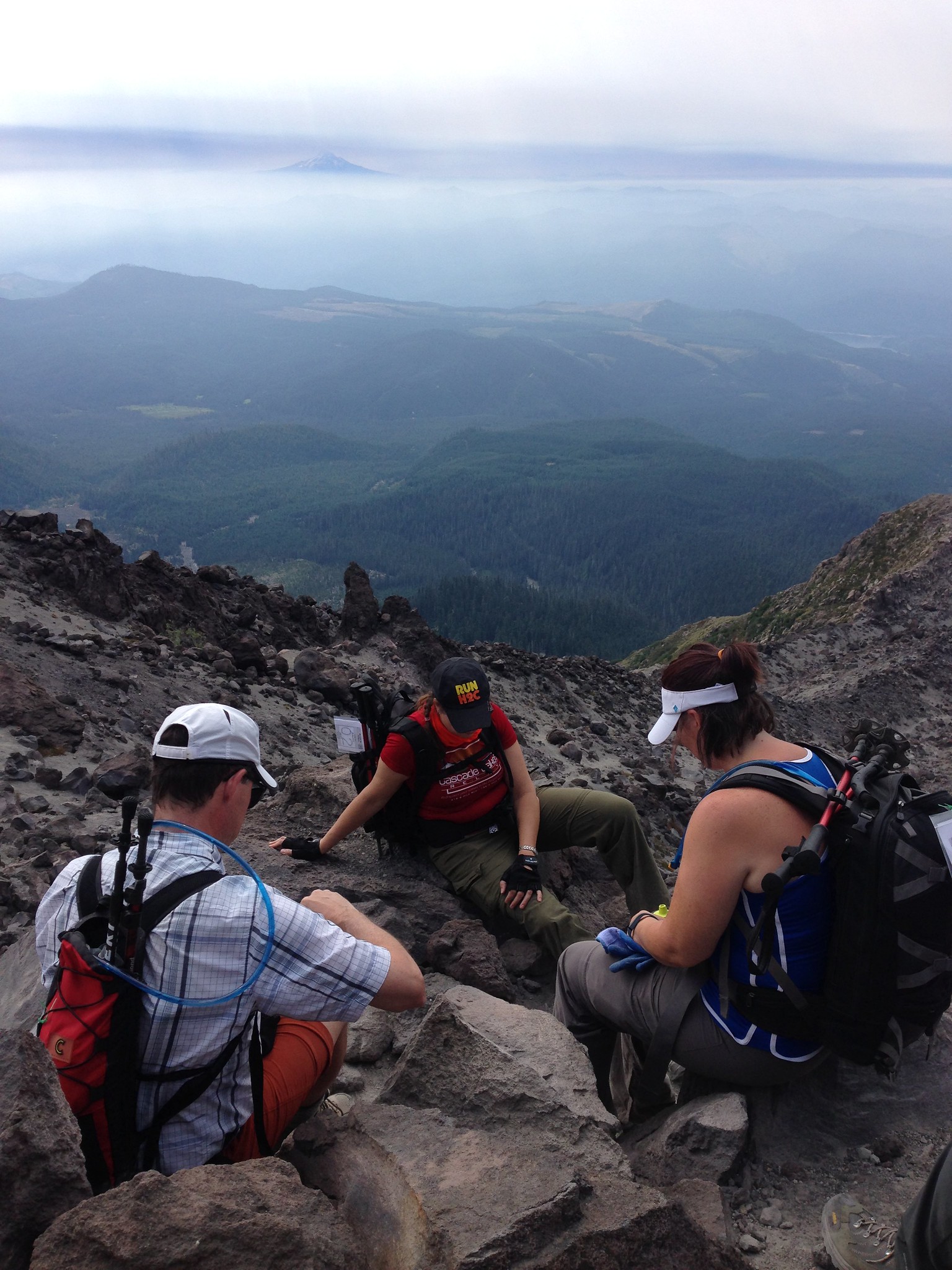
View from lunch - we'd come a long way!
We got lucky with the weather - it was warm but not hot, and we had cloud cover much of the time. We got one wind/rain squall, right after we cleared the boulder field on the way up, but it abated pretty quickly and I didn't even bring out my warm jacket, though I did put on a hat and long-sleeve layer for a while. We all had plenty of food and water - in all I drank nearly all the 5 liters of water I brought, but I didn't run out!
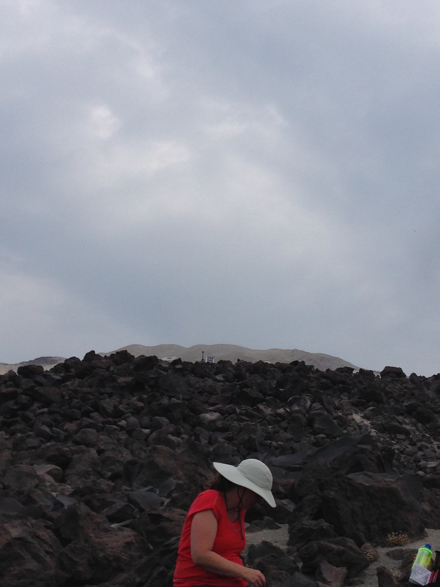
We still had a very long-looking way to go - that lighter brown is the rim, and there are people up there.
It took us about 90 more minutes of uphill hiking to get there.
I was most despairing when we stopped for lunch. We started hiking at 7am, and at 12:40 the top still looked impossibly far away. We (I, anyway!) had a tentative plan to turn around at 2pm - my logic was that we'd have been hiking 7 hours by then, and could spend nearly that long coming down, and I didn't want to get caught out in the dark if I could help it. Others on my group wanted to go for the summit no matter what, and I was nervous about the possible consequences.

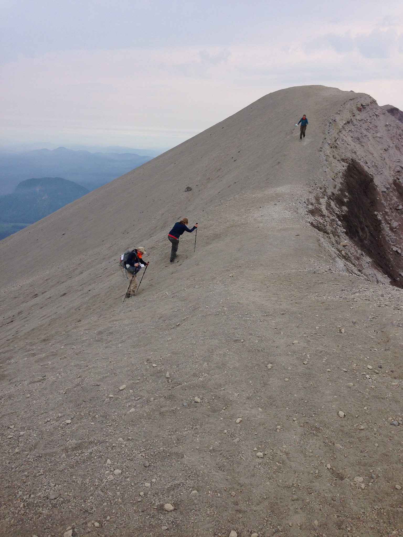
It was a relief to get out of the boulder field, though the going was by no means easy!
At 2pm we weren't at the summit, and it still seemed a ways away, but at least we were out of the boulders and onto the steep rocky/ashy slope. We decided to go for it (summit fever is real!) and I made the summit at 2:10. Woooooo!
Dramatic summiting shot.
One of my friends stopped about 20 minutes short of the summit, just feeling too maxed out. But she was close enough that she could hear our voices, and after some reflection and regrouping, she decided to go for it after all. Fortunately I spotted her attempt to join us, just before she was obscured by a rise in the ground. One of the fitter members of our group went down to confirm she was in fact making an attempt for the top, and kept her company on the way back up. I was grateful he was able to be so nice, because I did NOT want to cover any bonus ground myself!

Looking down into the crater. It was hard to get a decent shot!
We hung out at the rim for a while, taking pictures and enjoying the moment. Then, however, we had to face the fact that we were only halfway done with our hike! Going down was still super hard, and I was so so tired already... I didn't take a single picture of the descent!
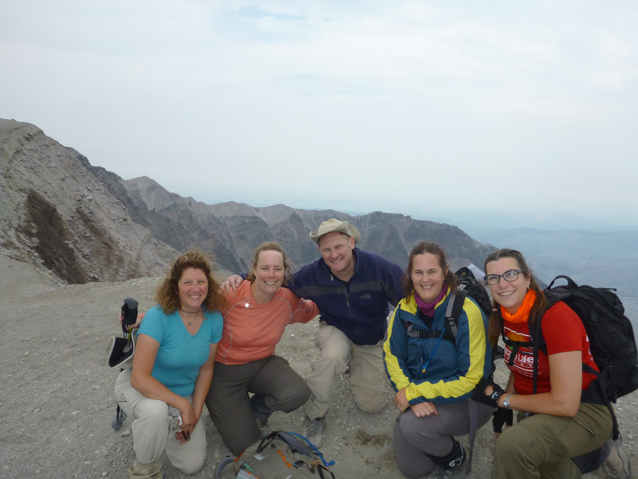
Triumphant group shot (of most of us)
The last two miles of trail (the wooded, gradual grade) felt like they took forever...but I officially signed us off the trail at 7:21 - for a total of 12:21 hiking. What an accomplishment!!!! My body is still sore four days later, but I'm slowly getting back to normal.

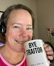
This is how we all felt!
I'm actually toying with doing South Sister next year... we'll see!